
|
NOAA 18460-Strait of Juan de Fuca Entrance
|
★★★★★
|
1
|
$22.95 |
B0000AXU7L
|

|
18456 Olympia Harbor/Budd Inlet
|
|
0
|
$35.95 |
B0000AXU8I
|
|
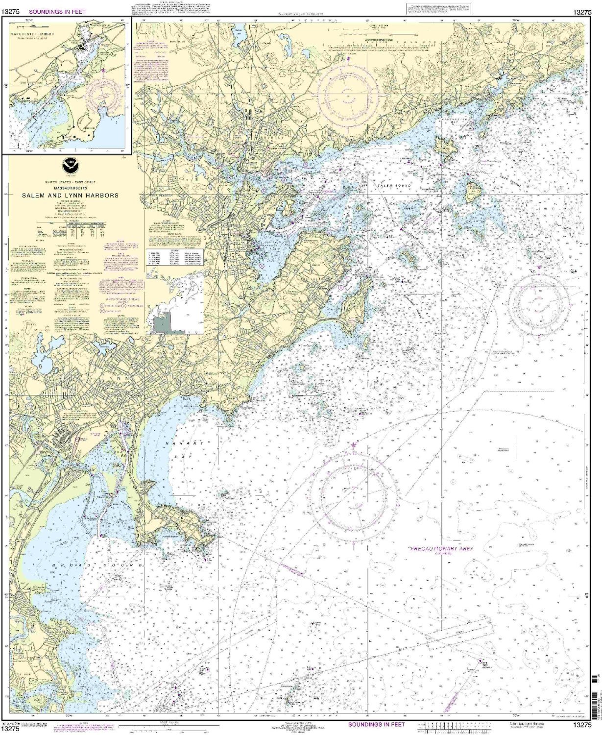
13275--Salem and Lynn Harbors, Manchester Harbor
|
|
0
|
$35.95 |
B000HKF3KU
|
|
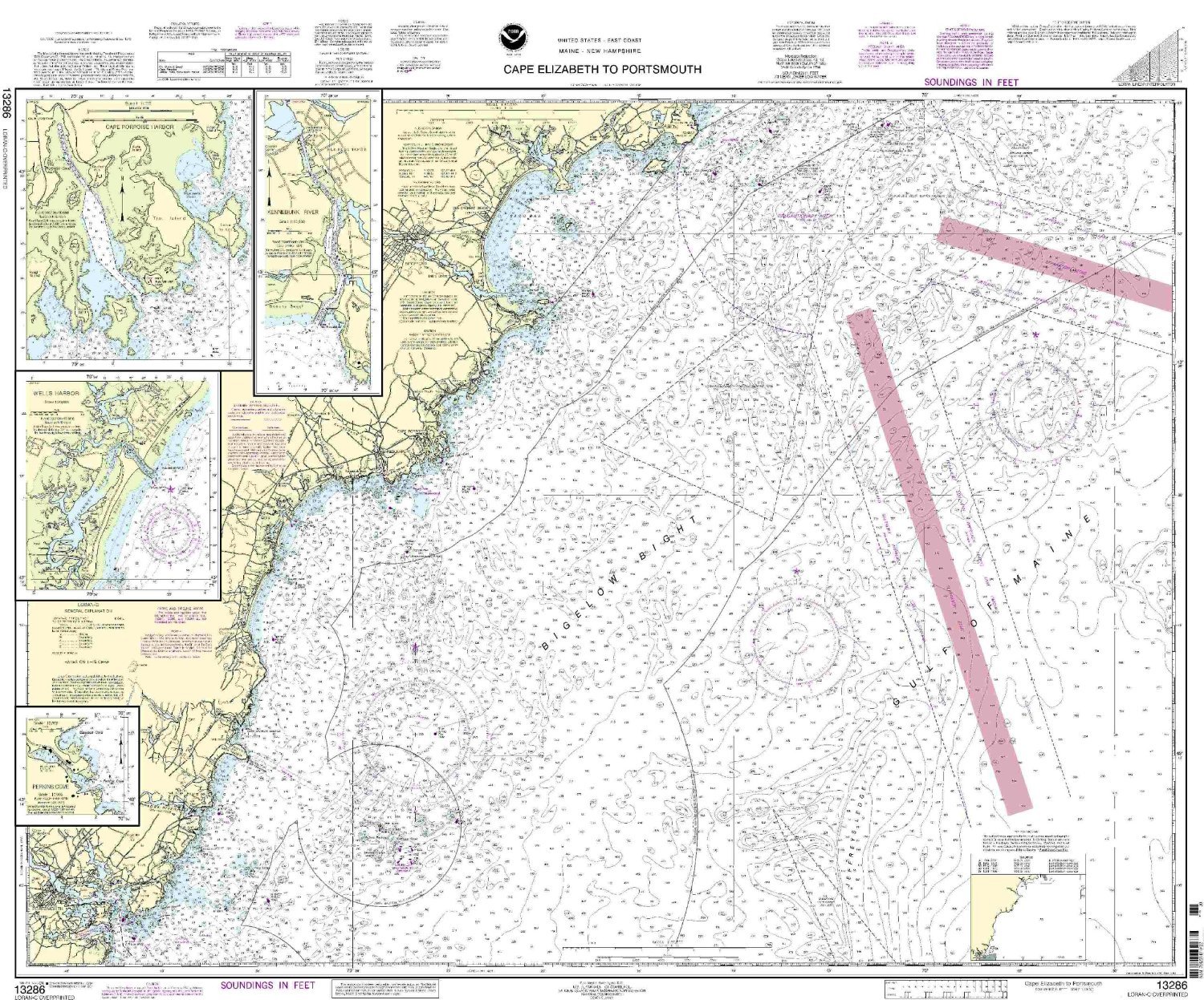
13286 Cape Elizabeth To Portsmouth
|
|
0
|
$35.95 |
B000HKF3LE
|
|
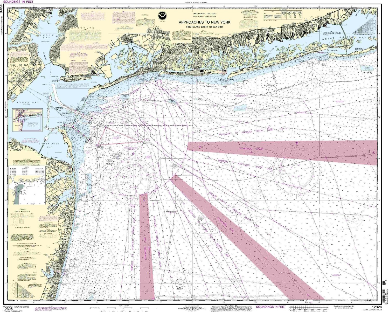
12326--Approaches to New York - Fire Island Light to Sea Girt
|
|
0
|
$35.95 |
B000HKF3N2
|
|
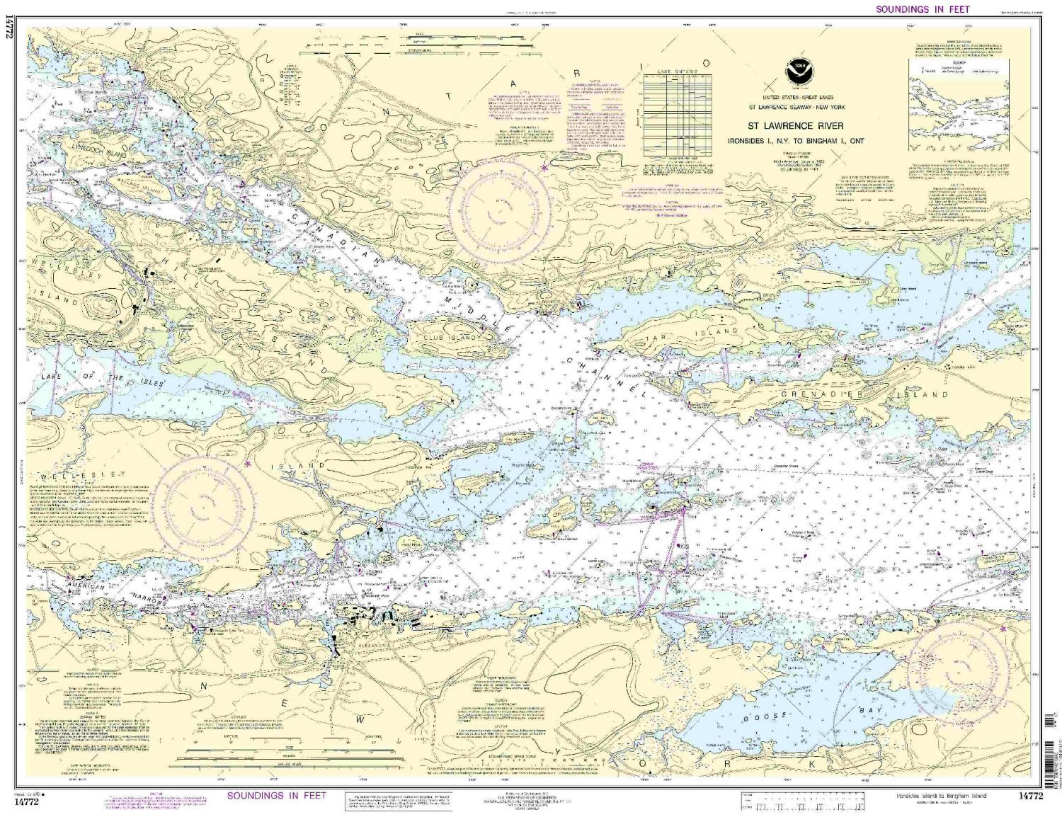
14772--Ironsides Island., N.Y. to Bingham Island., Ontario
|
|
0
|
$35.95 |
B000HKF3SW
|
|
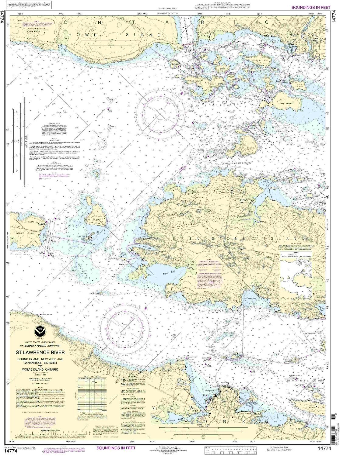
14774--Round Island, N.Y. and Gananoque, Ontario, to Wolfe Island, Ontario
|
|
0
|
$35.95 |
B000HKF3T6
|
|
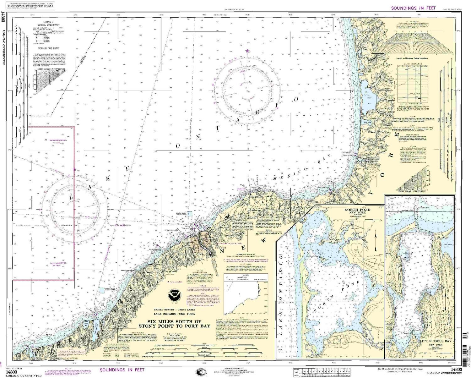
14803--Six Miles south of Stony Point to Port Bay
|
|
0
|
$35.95 |
B000HKF3VE
|
|
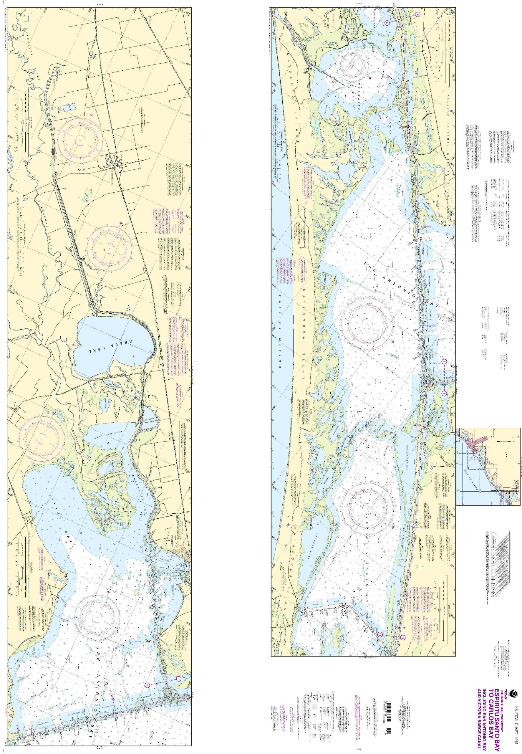
11315--Espiritu Santo Bay to Carlos Bay including San Antonio Bay and Victoria Barge Canal
|
|
0
|
$23.95 |
B000HKF3Z0
|
|
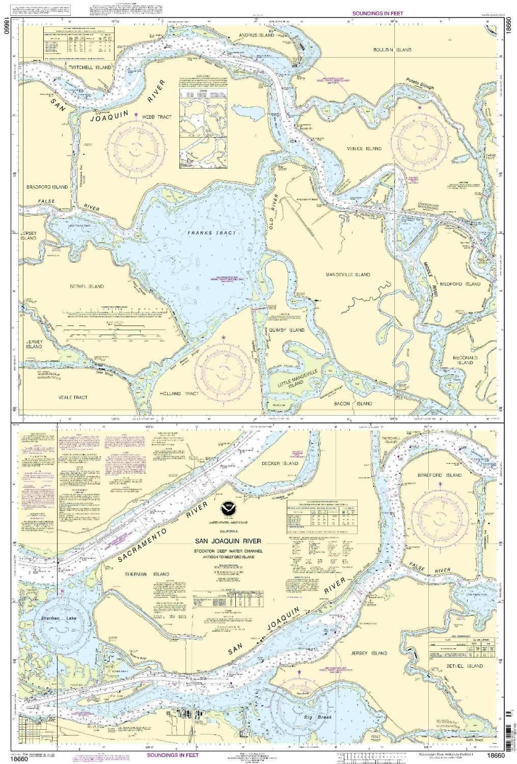
18660--San Joaquin River, Stockton Deep Water Channel - Antioch to Medford Island
|
|
0
|
$35.95 |
B000HKF3ZK
|

|
18764--Pyramid Cove and approaches, San Clemente Island
|
|
0
|
$23.95 |
B000HKF44K
|
|
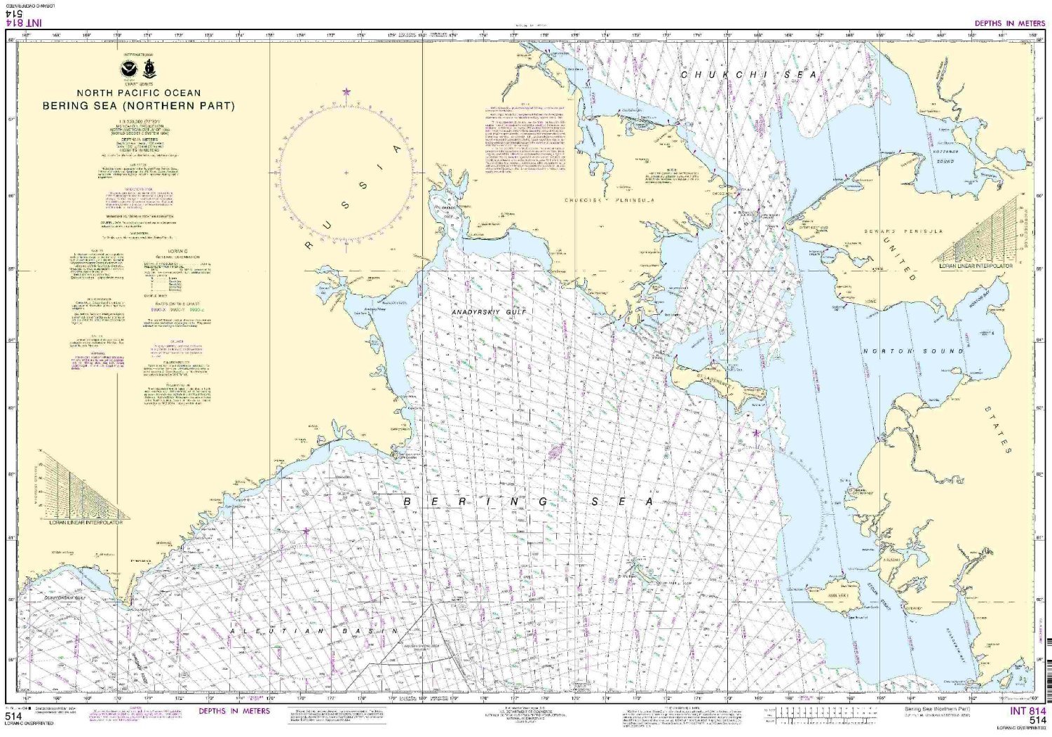
514--North Pacific Ocean - Bering Sea, northern part
|
|
0
|
$35.95 |
B000HKF45E
|
|
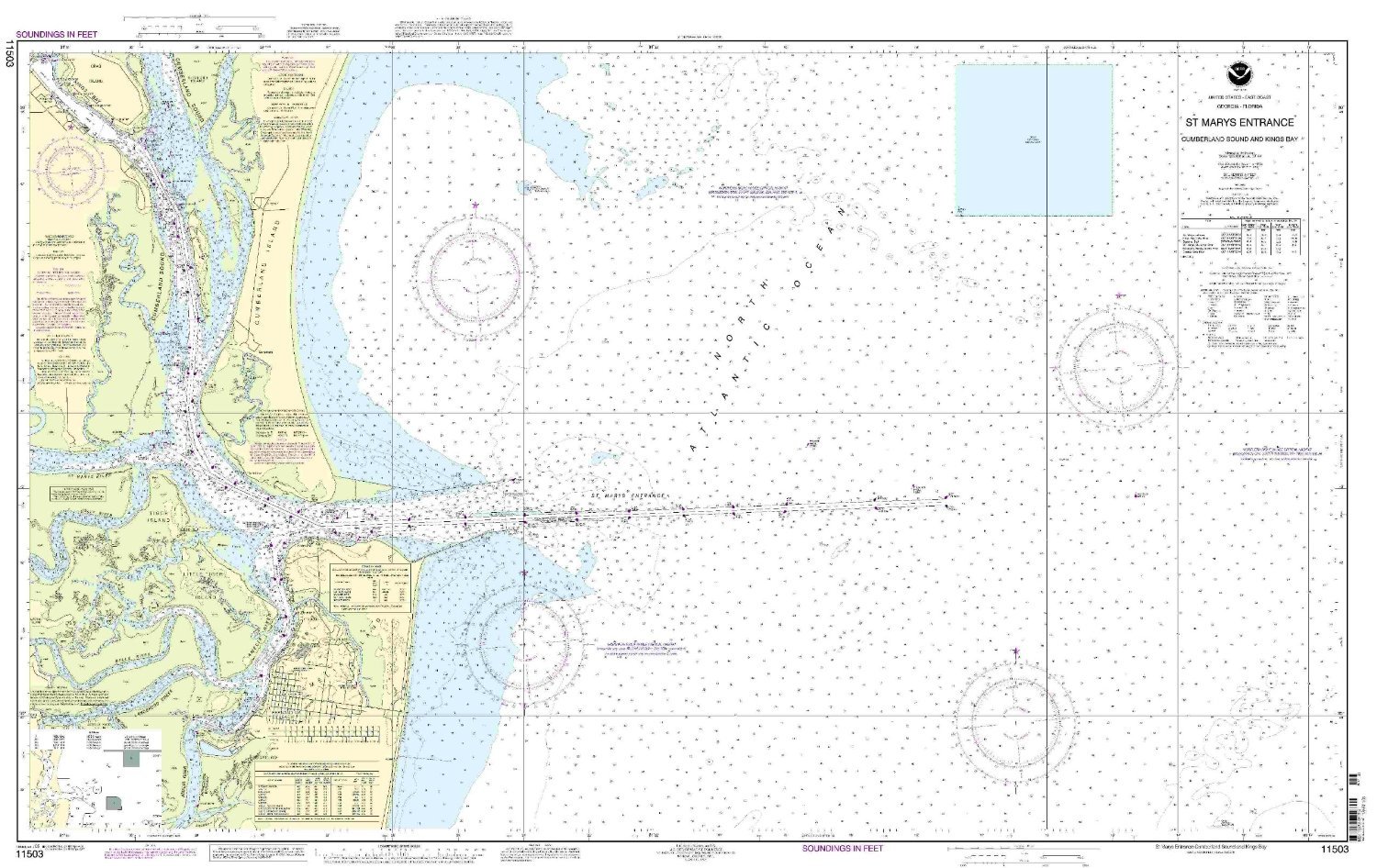
11503--St. Marys Entrance - Cumberland Sound and Kings Bay
|
|
0
|
$35.95 |
B000HKF4BS
|
|
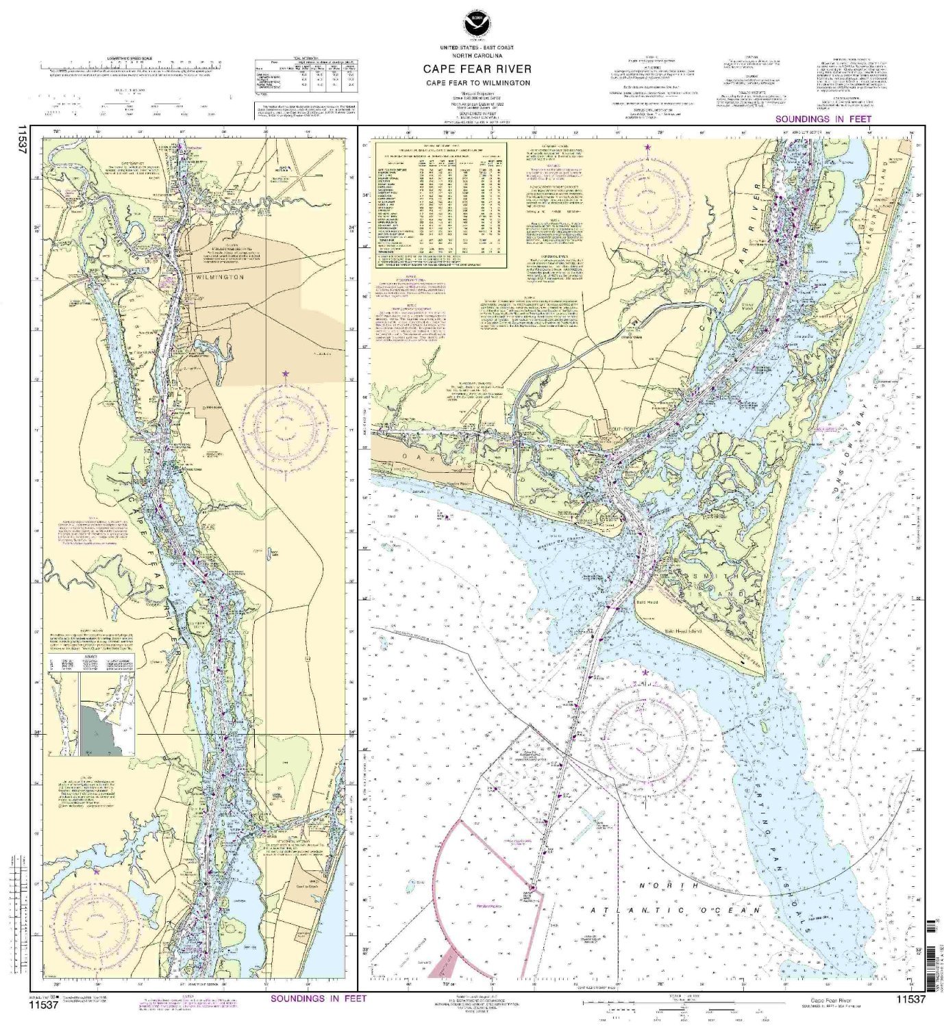
NOAA 11537-Cape Fear River - Cape Fear to Wilmington
|
|
0
|
$35.95 |
B000HKF4F4
|
|
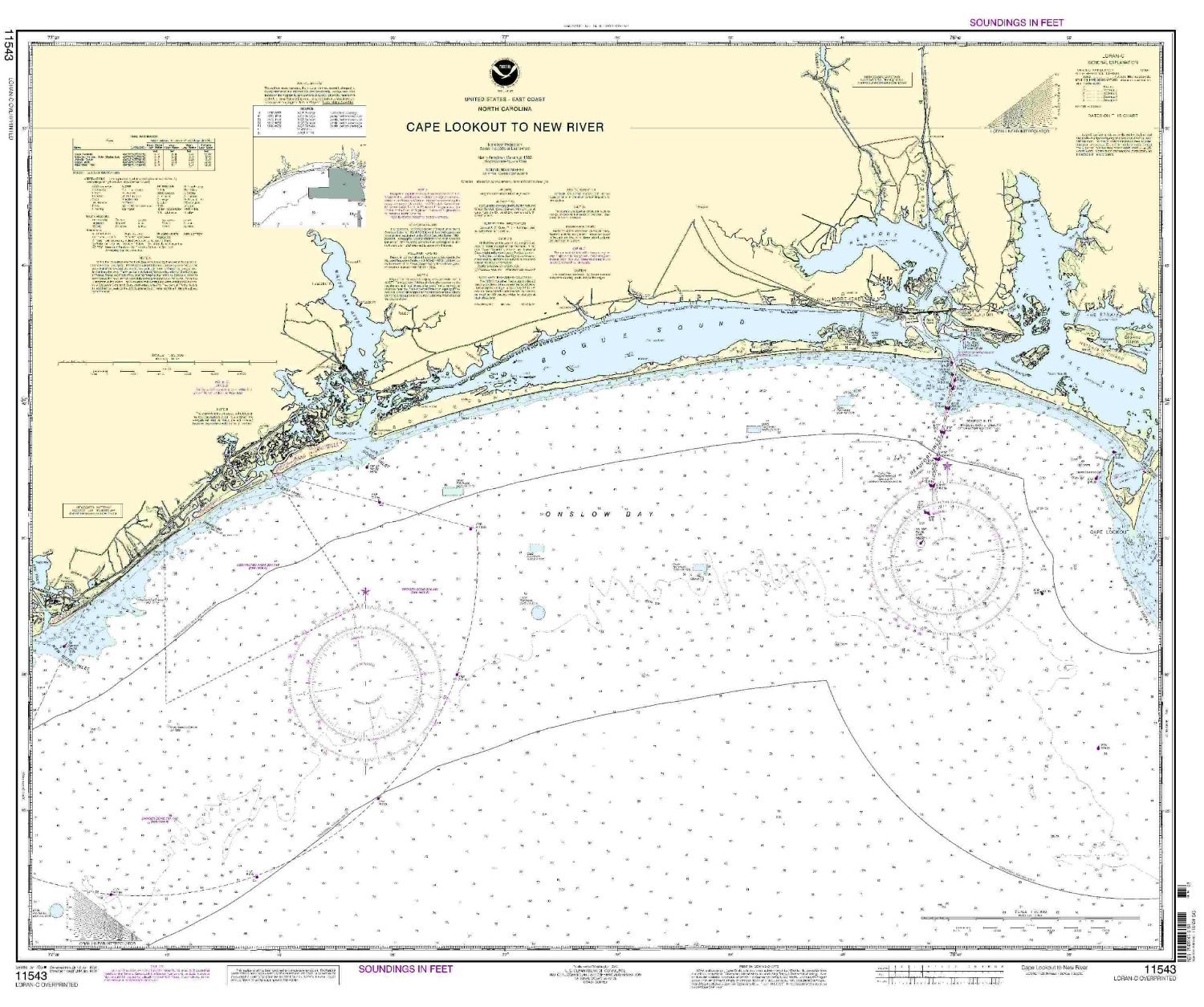
NOAA 11543-Cape Lookout to New River
|
|
0
|
$35.95 |
B000HKF4FO
|
|
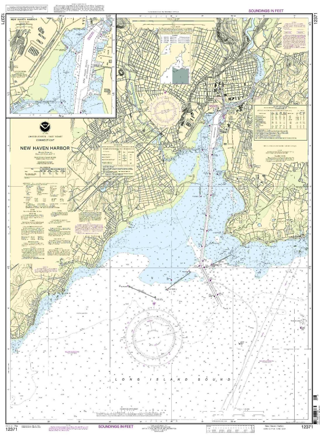
12371 New Haven Harbor
|
|
0
|
$35.95 |
B000HKH808
|
|
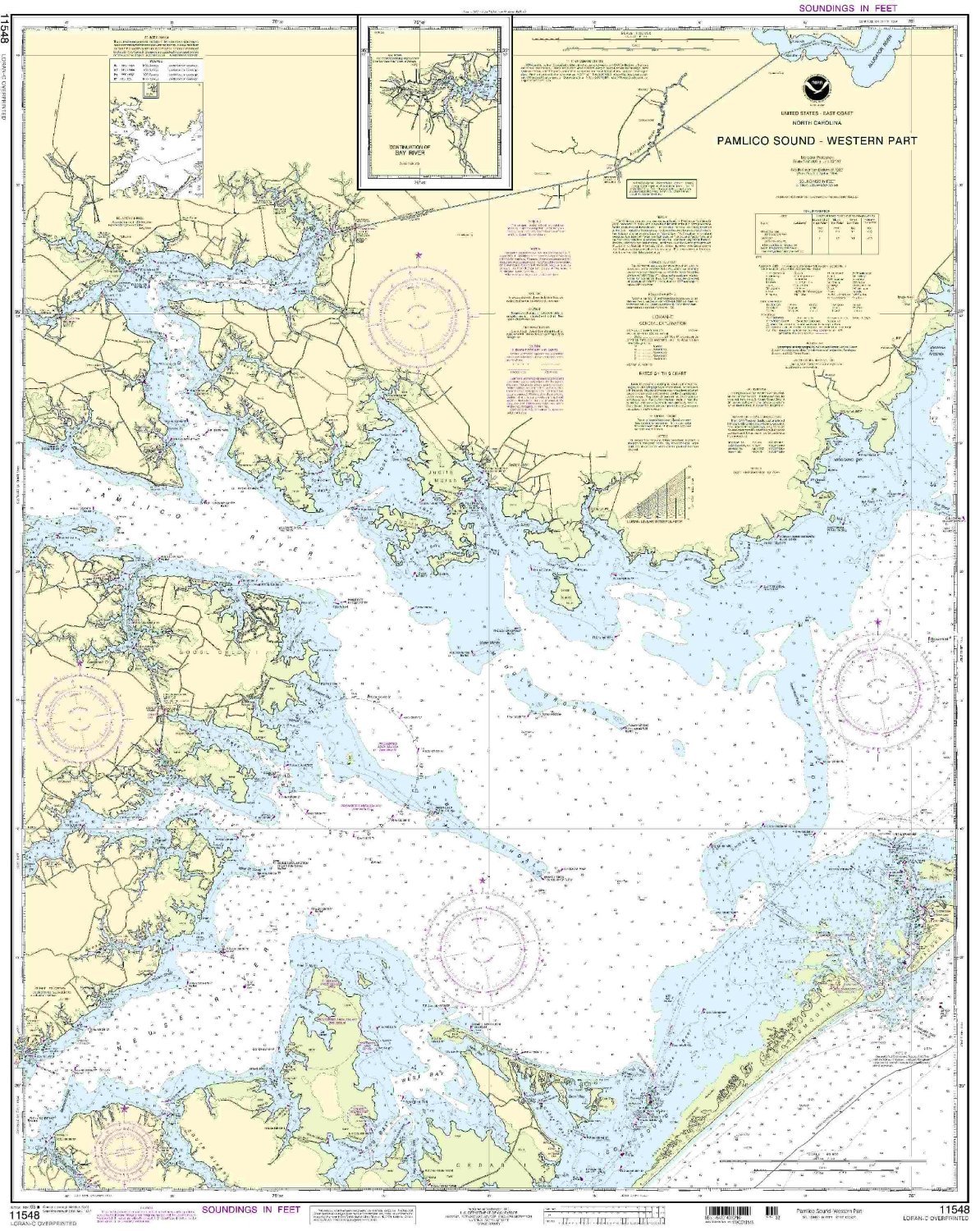
11548 Pamlico Sound-Western Part
|
|
0
|
$35.95 |
B000HKH80I
|
|
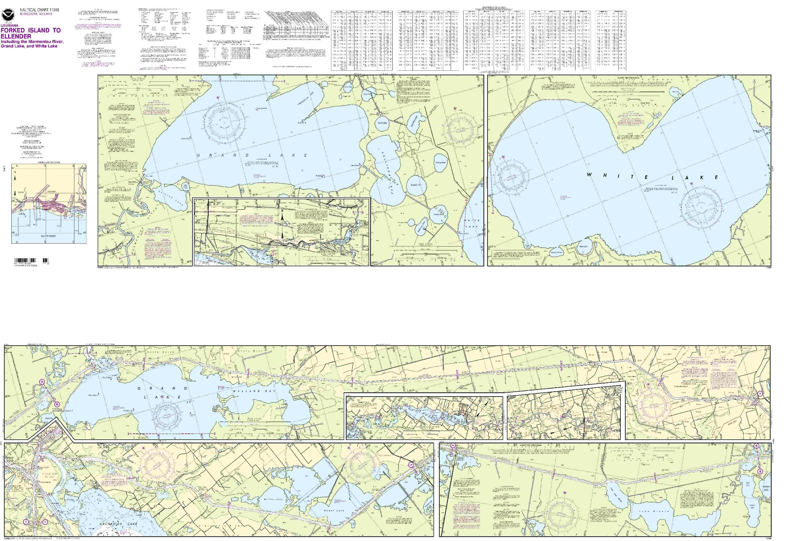
NOAA 11348-Intracoastal Waterway - Forked Island to Ellender, Including The Mermantau River, Grand Lake and White Lake
|
|
0
|
$25.95 |
B000HKH8LM
|

|
18751 Los Angeles/Long Beach Harbors
|
|
0
|
$22.50 |
B000HKH8NA
|

|
11428 St.Lucie/Okeechobe/For t Myers
|
|
0
|
$20.13 |
B000HKH8XU
|

|
11487--St. Johns River, Racy Point to Crescent Lake
|
|
0
|
$35.95 |
B000HKH93O
|

|
NOAA 11491-St Johns River, Atlantic Ocean to Jacksonville
|
|
0
|
$23.50 |
B000HKH948
|
|
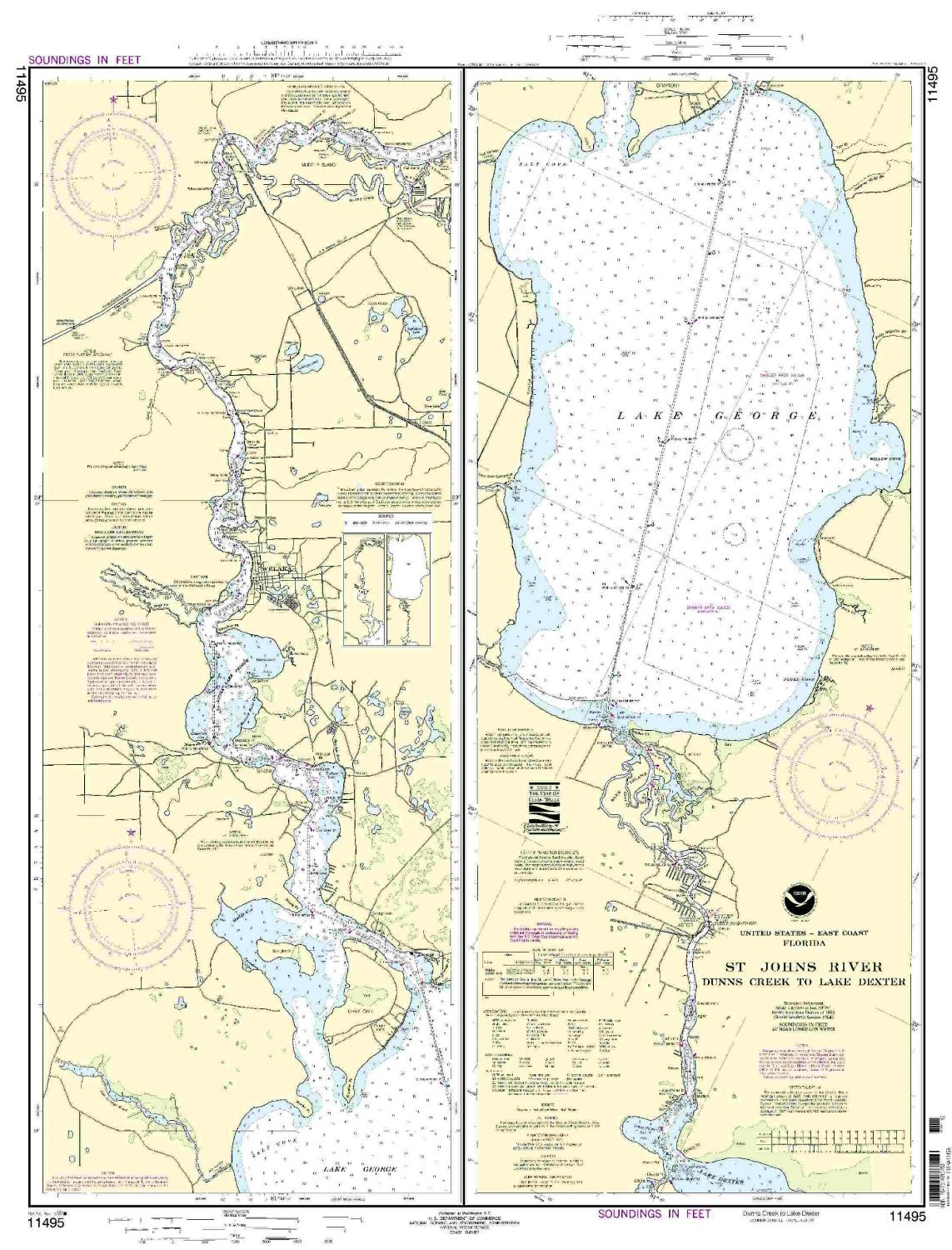
11495--St Johns River, Dunns Creek to Lake Dexter
|
|
0
|
$22.95 |
B000HKH94S
|
|
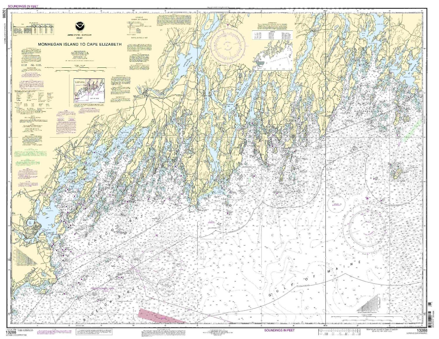
13288--Monhegan Island to Cape Elizabeth
|
|
0
|
$24.24 |
B000HKJ88I
|
|
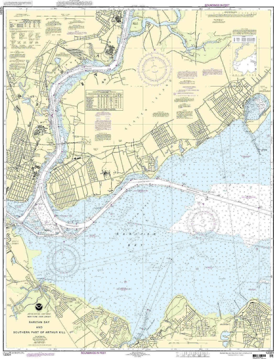
12331--Raritan Bay and Southern Part of Arthur Kill
|
|
0
|
$35.95 |
B000HKJ8A6
|
|
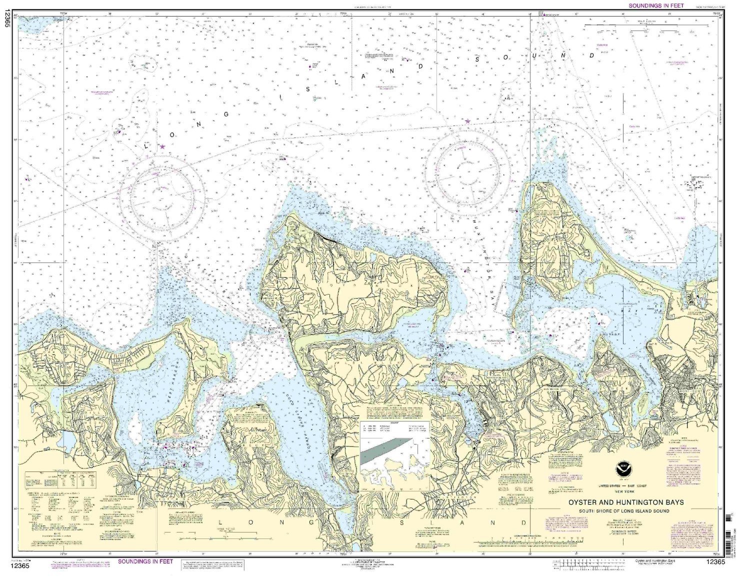
12365--Long Island Sound, South Shore - Oyster and Huntington Bays
|
|
0
|
$35.95 |
B000HKJ8CE
|

|
NOAA Chart 11309: Corpus Christi Bay
|
|
0
|
$35.95 |
B000HKJ8HO
|

|
11329--Houston Ship Channel-Alexander Island to Carpenter Bayou
|
|
0
|
$35.95 |
B000HKJ8LU
|
|
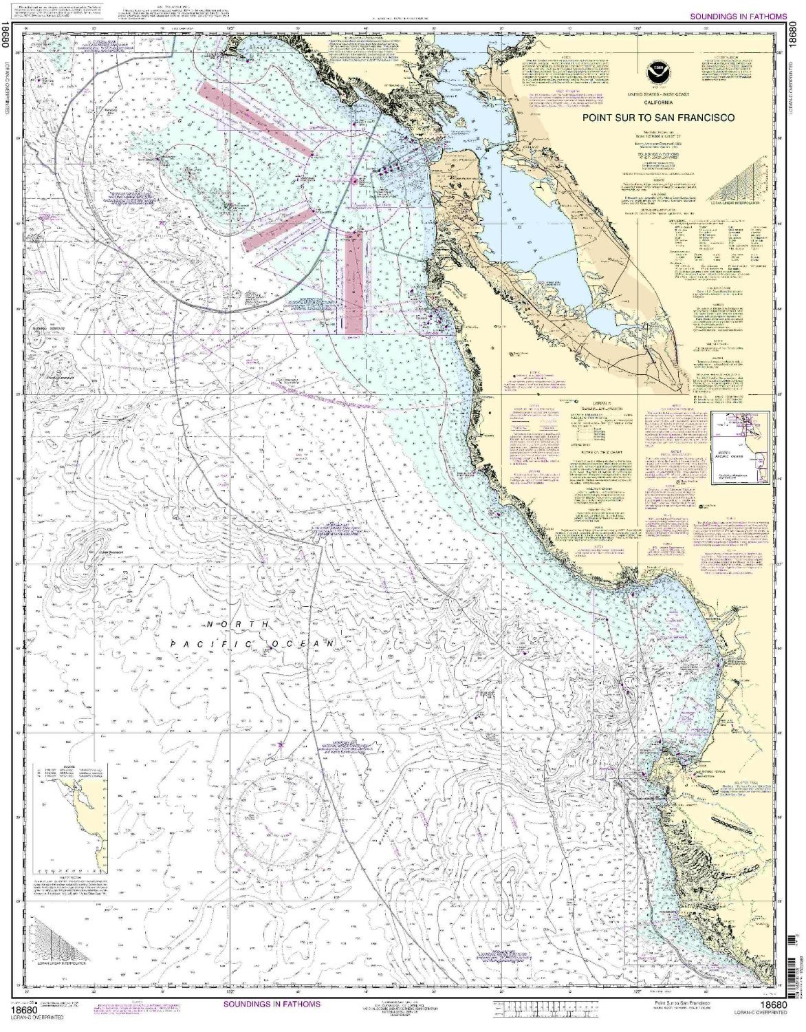
18680--Point Sur to San Francisco
|
|
0
|
$23.95 |
B000HKJ8M4
|
|
11353--Baptiste Collette Bayou to Mississippi River - Gulf Outlet, Baptiste Collette Bayou Extension
|
|
0
|
$35.95 |
B000HKJ8OC
|
|
18746--San Pedro Channel, Dana Point Harbor
|
|
0
|
$23.50 |
B000HKJ8OW
|
|
NOAA Print-On-Demand chart Connecticut River Long lsland Sound to Deep River 22nd Edition Model: 12375
|
|
0
|
$35.95 |
B000HKL62O
|

|
12252--James River - Jordan Point to Richmond
|
|
0
|
$35.95 |
B000HKL69C
|
|
12314 Philadelphia To Trenton
|
|
0
|
$35.95 |
B000HKL6CY
|
|
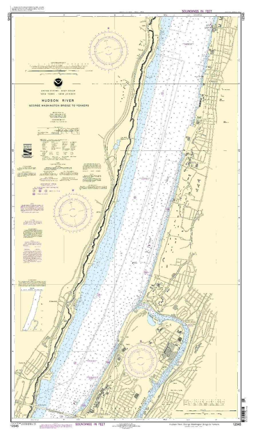
12345--George Washington Bridge to Yonkers
|
|
0
|
$35.95 |
B000HKL6H4
|
|
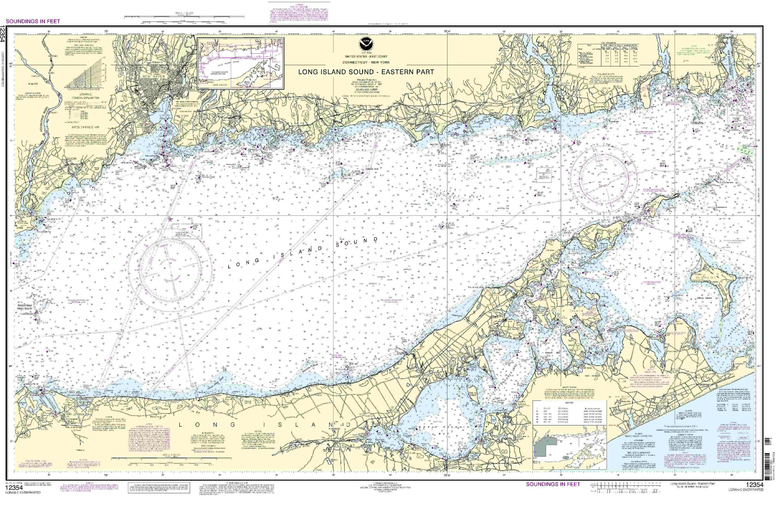
NOAA 12354-Long Island Sound - Eastern Part
|
|
0
|
$23.95 |
B000HKL6II
|
|
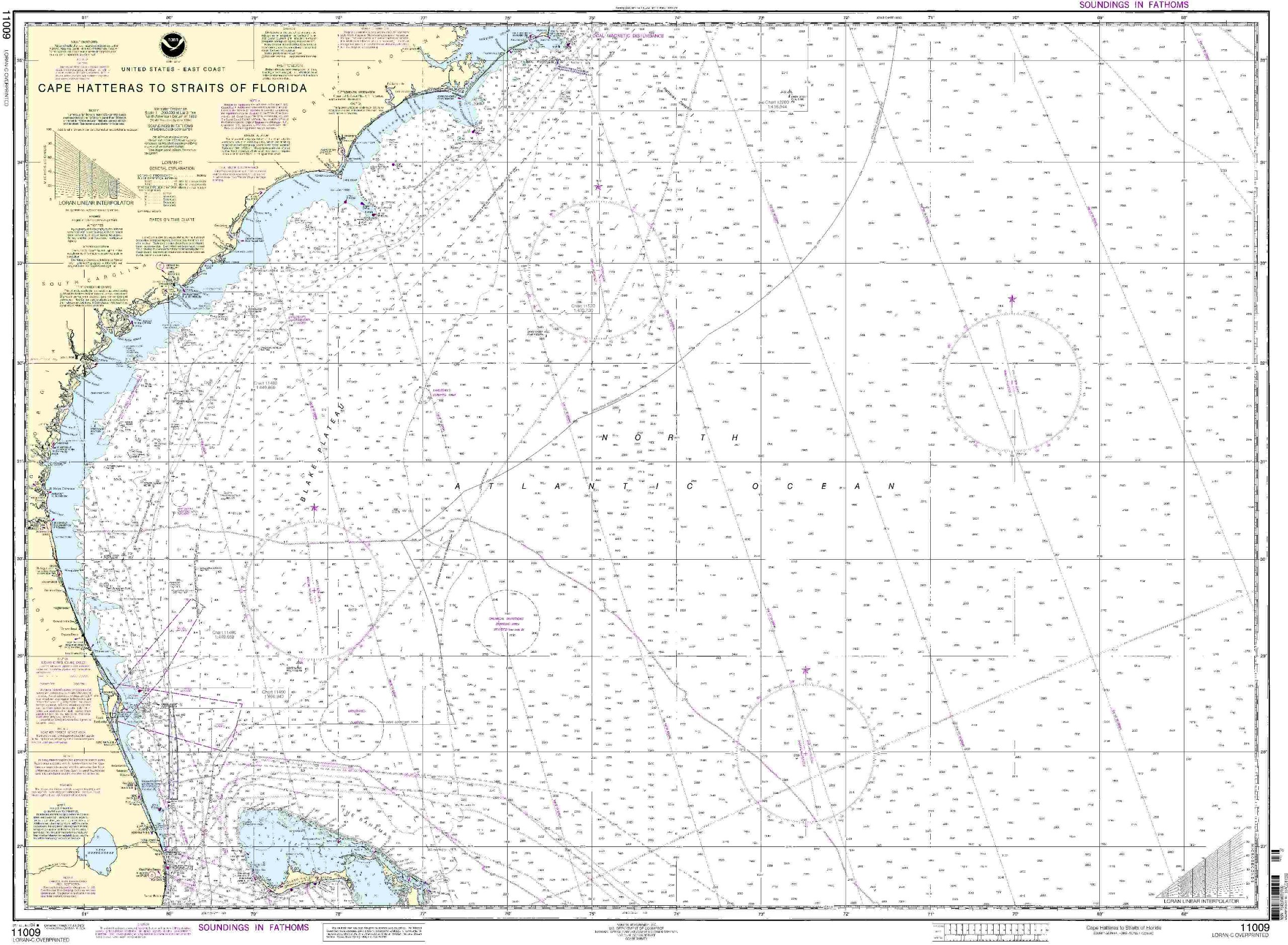
11009 Cape Hatteras To Florida
|
|
0
|
$23.95 |
B000HKL6LK
|
|
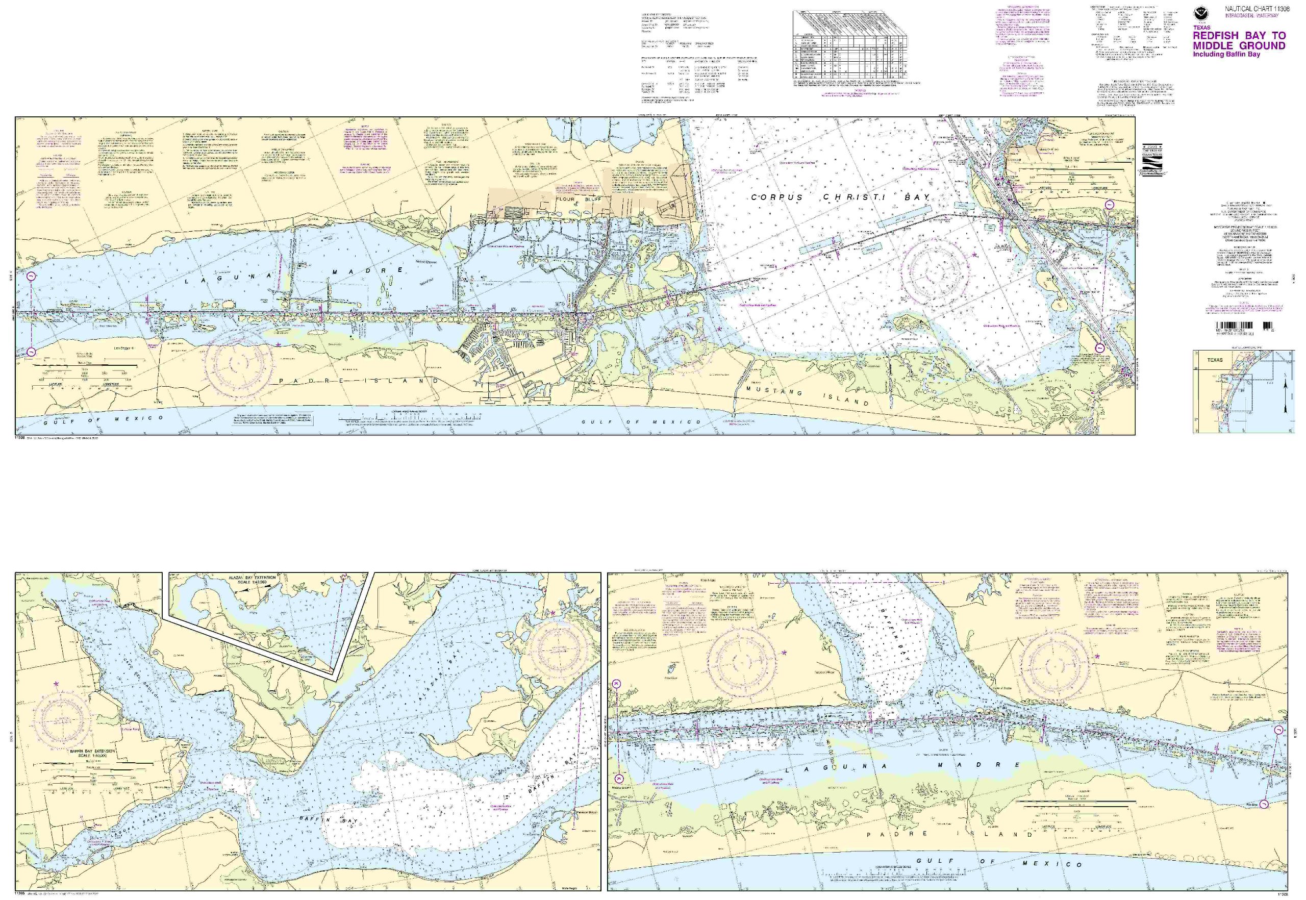
11308 Redfish Bay To Middle Ground
|
|
0
|
$25.95 |
B000HKL6OW
|

|
NOAA 18744-Santa Monica Bay, King Harbor, Marina Del Ray
|
★★★★★
|
1
|
$23.95 |
B000HKL6WE
|
|
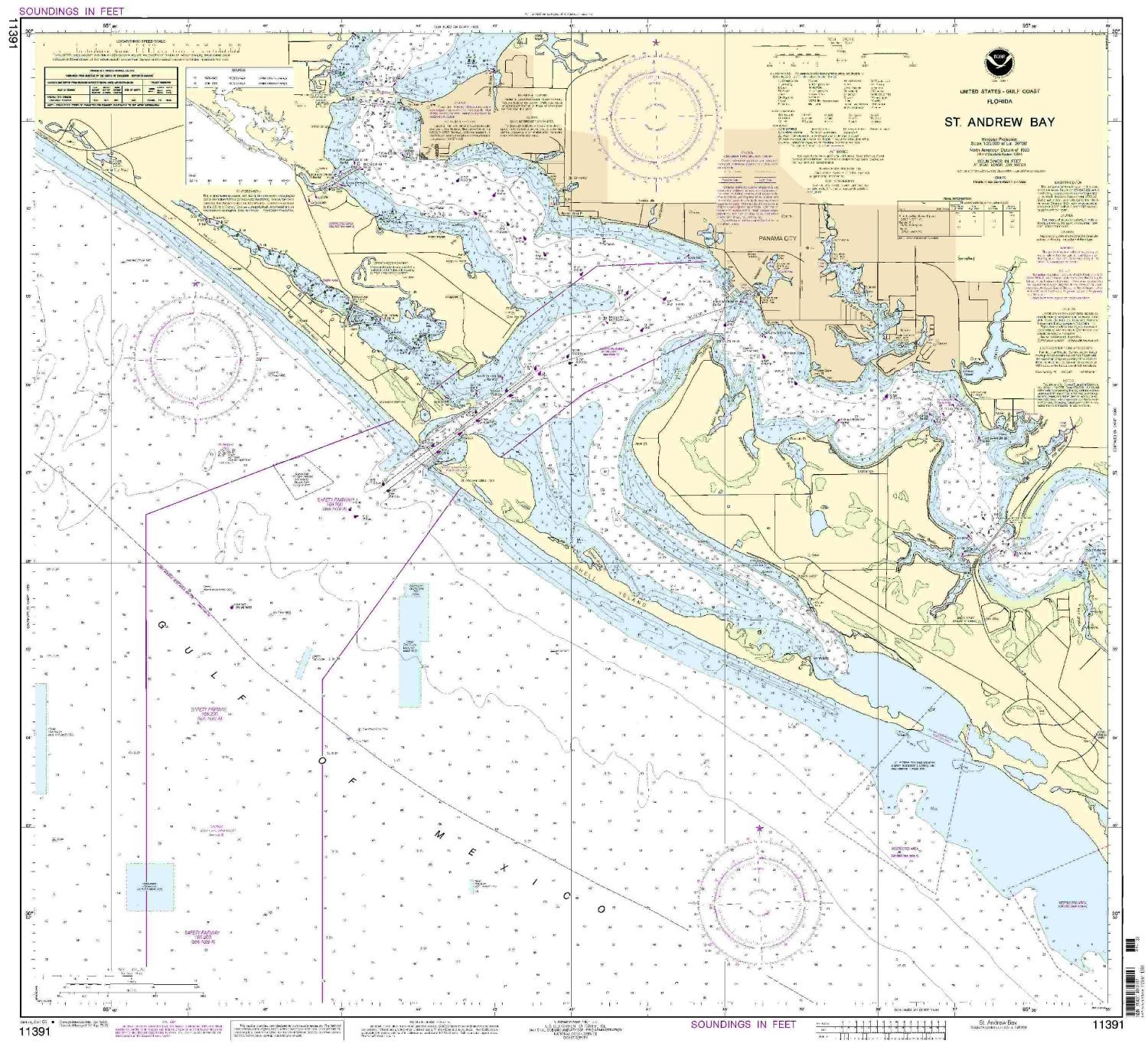
11391 St Andrew Bay
|
|
0
|
$35.95 |
B000HKL71Y
|
|
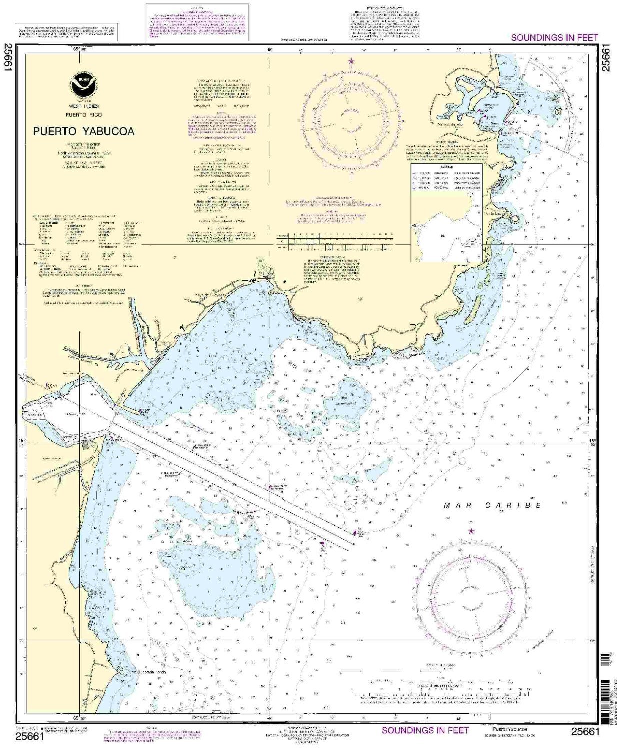
25661--Puerto Yabucoa including Palmas del Mar Harbor
|
|
0
|
$35.95 |
B000HKL72I
|
|
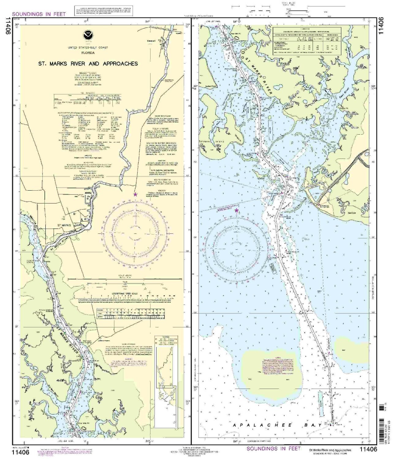
NOAA Print-On-Demand chart St.Marks River and approaches 13th Edition Model: 11406
|
|
0
|
$35.95 |
B000HKL746
|
|
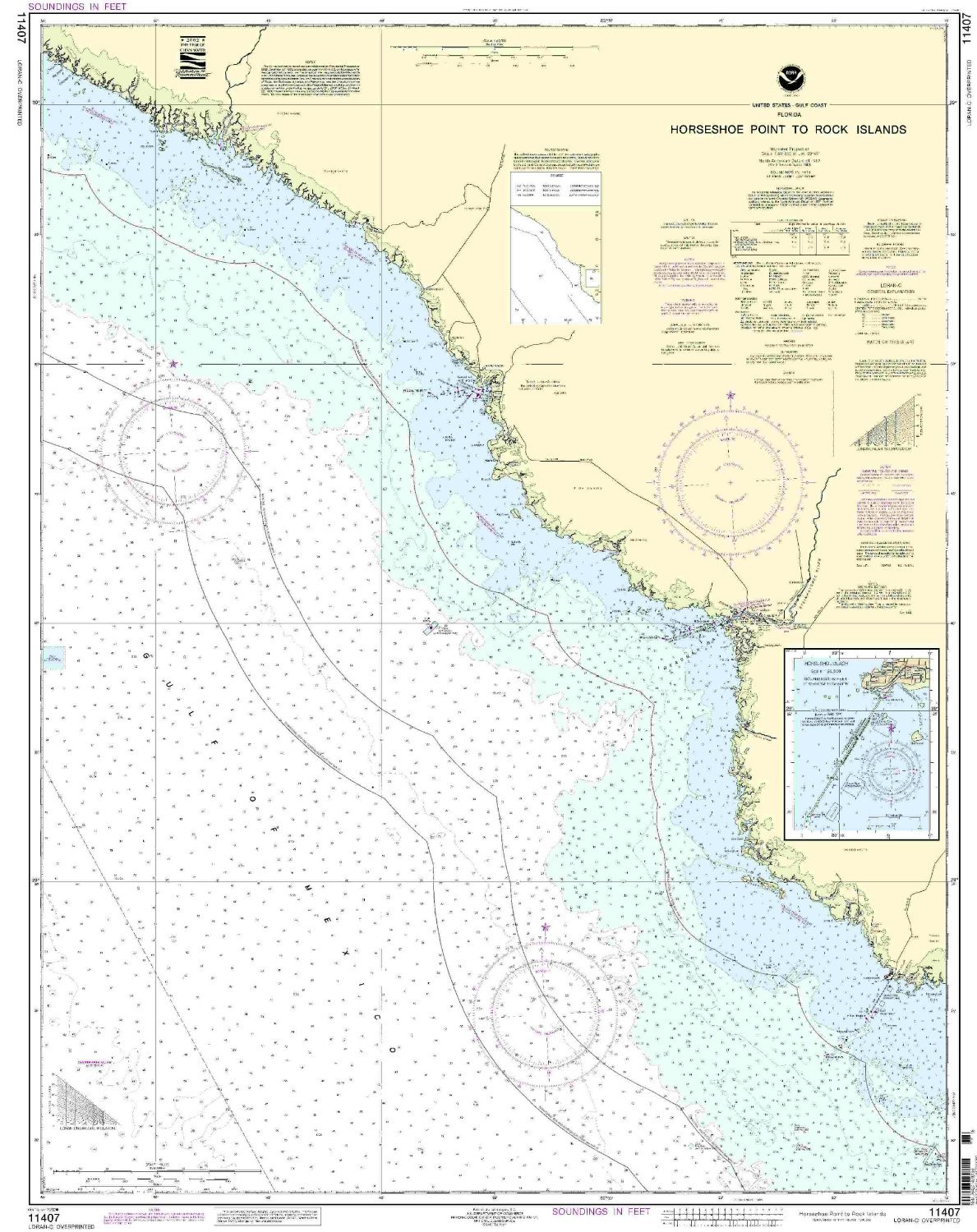
11407 Horseshoe Point-Rock Islands
|
|
0
|
$35.95 |
B000HKL74G
|

|
11412--Tampa Bay and St. Joseph Sound
|
|
0
|
$22.95 |
B000HKL750
|
|
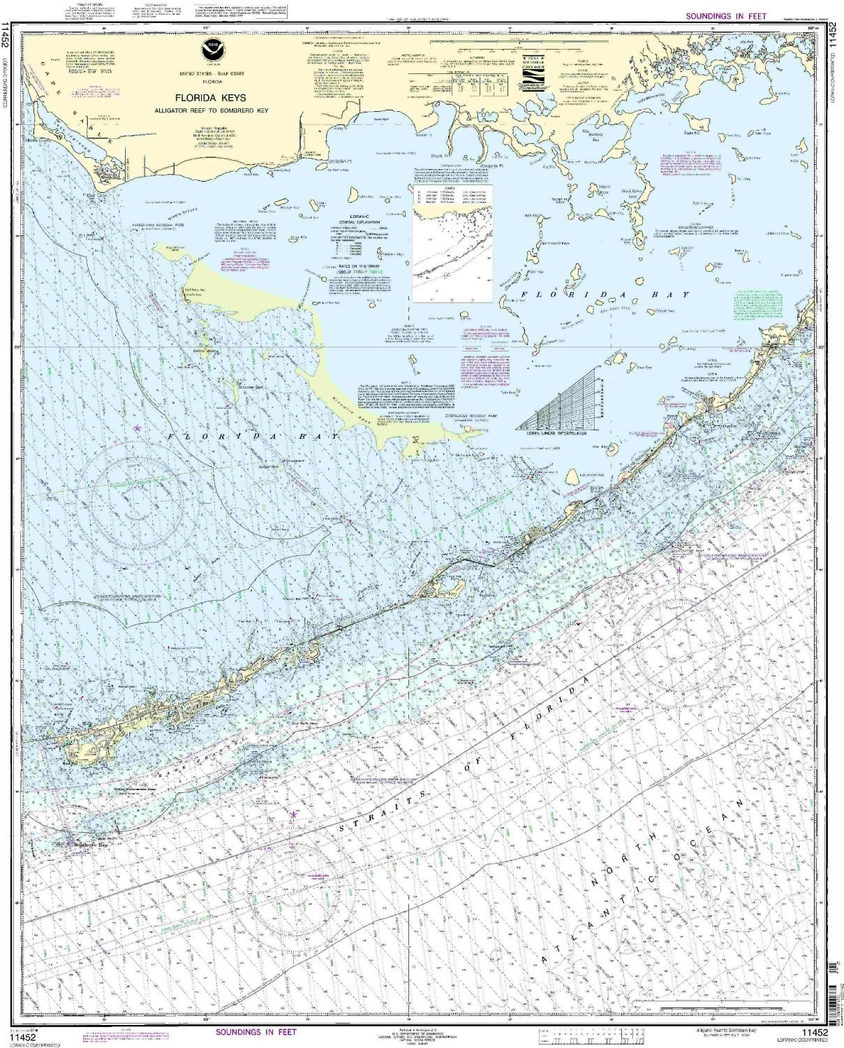
11452--Alligator Reef to Sombrero Key
|
|
0
|
$22.50 |
B000HKL78W
|

|
11531--Winyah Bay Entrance to Isle of Palms
|
|
0
|
$22.95 |
B000HKL7FK
|
|
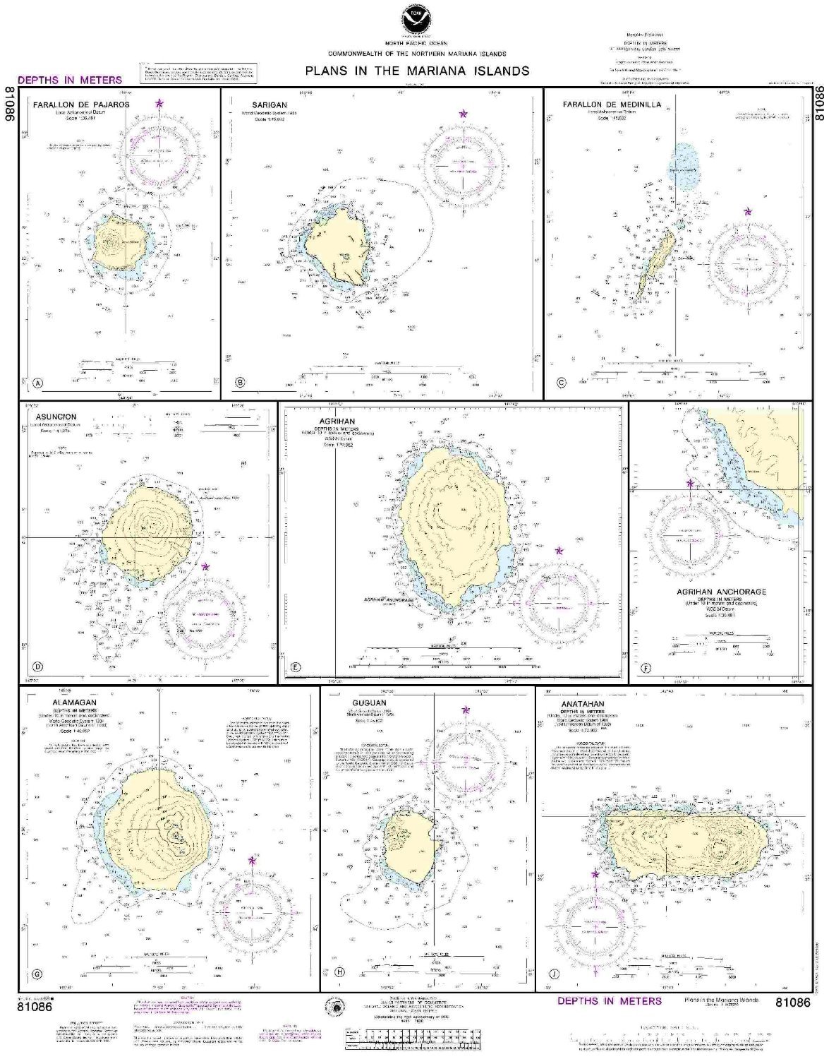
81086--Plans in the Mariana Island, Farallon de Pajaros, Sarigan, Farallon de Medinilla, Asuncion, Agrihan, Agrihan Anchorage, Alamagan, Guguan, Anatahan
|
|
0
|
$22.95 |
B000HLGIL2
|
|
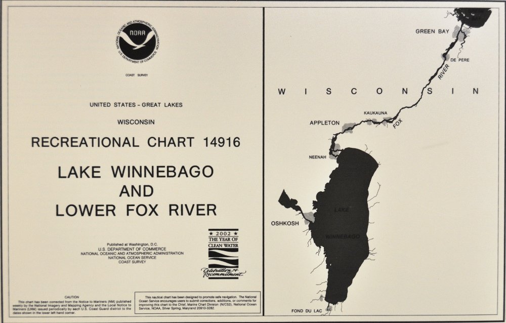
14916-LAKE Winnebago & Lower Fox River
|
★★★★★
|
1
|
$49.95 |
B000HLGIZS
|
|
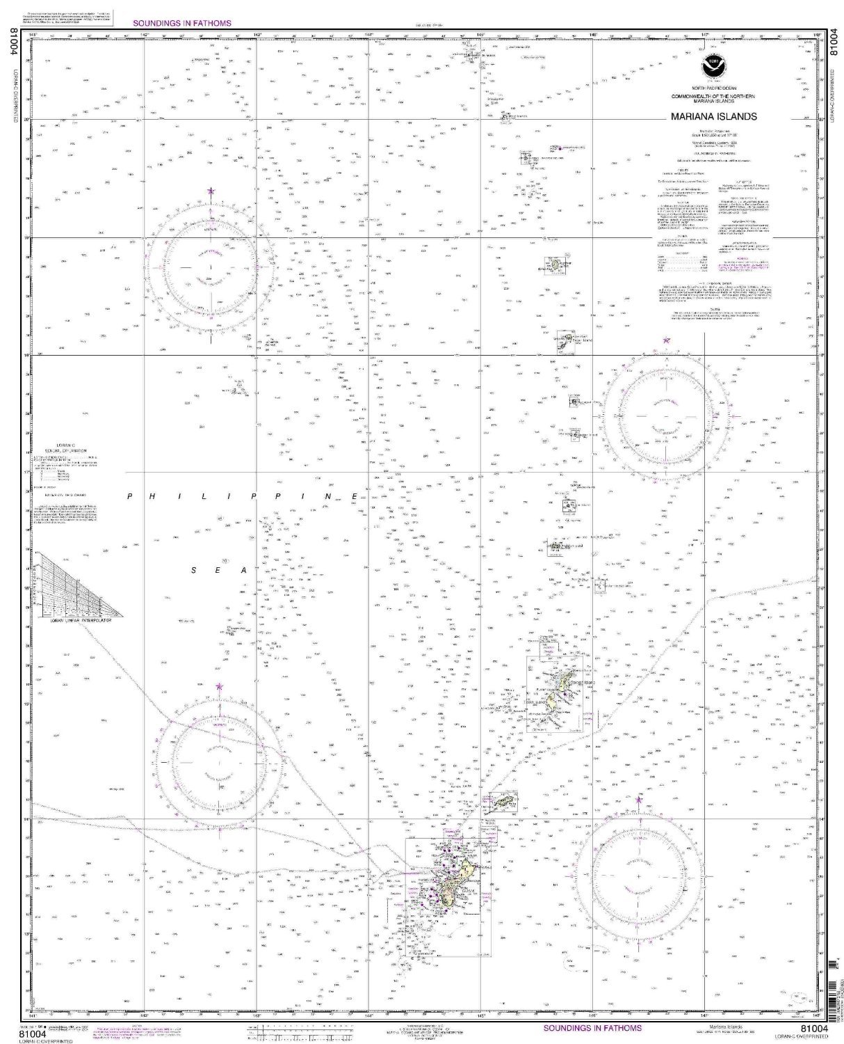
NOAA Print-On-Demand chart Commonwealth of the Northern Mariana Islands 5th Edition Model: 81004
|
|
0
|
$21.95 |
B000HLIMES
|
|
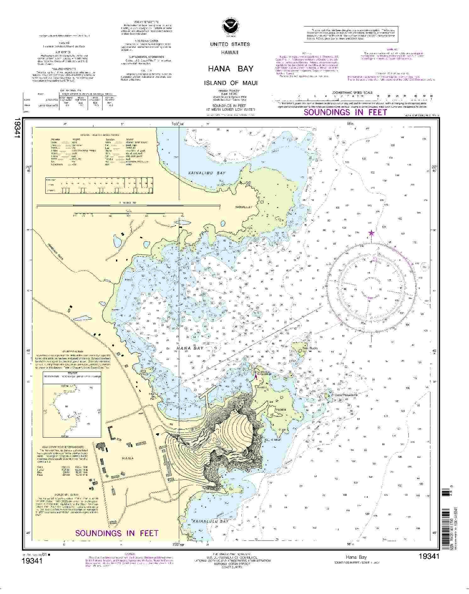
19341--Hana Bay
|
|
0
|
$23.95 |
B000HLKJZS
|
|
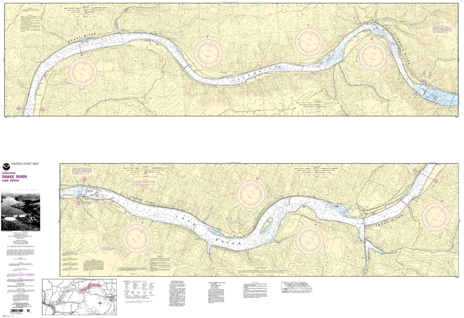
NOAA Print-On-Demand chart Snake River-Lake Bryan 8th Edition Model: 18547
|
|
0
|
$35.95 |
B000HLKLCE
|
|
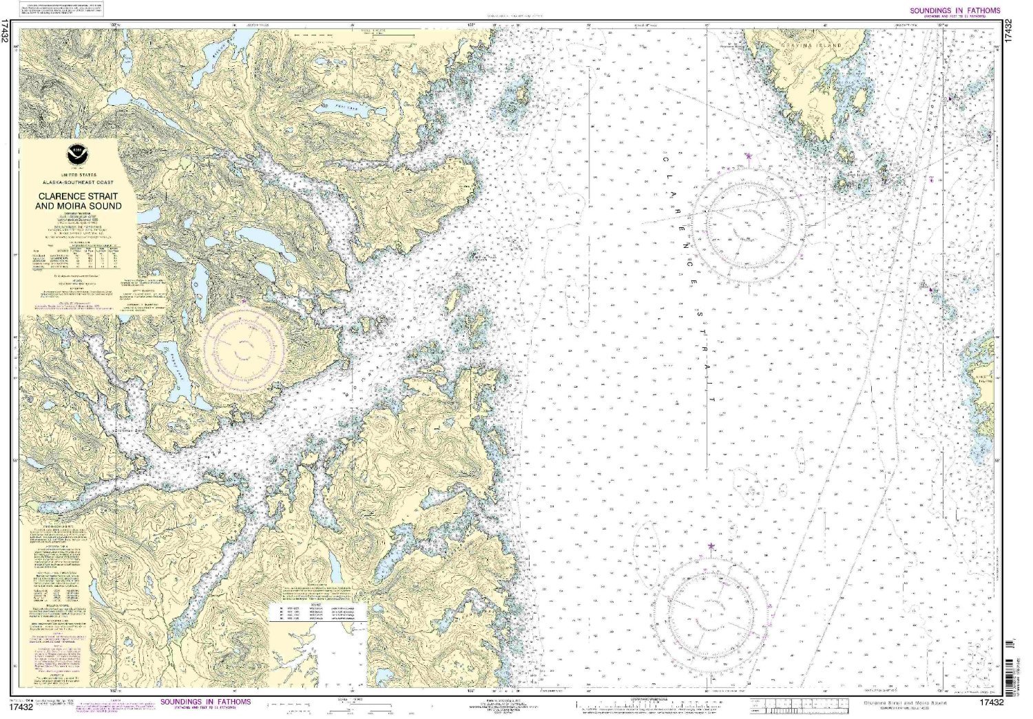
17432--Clarence Strait and Moira Sound
|
|
0
|
$35.95 |
B000HLMJMO
|

|
19007--Hawaii to French Frigate Shoals
|
|
0
|
$24.95 |
B000HLMKBE
|

|
16011--Alaska Peninsula and Aleutian Islands to Seguam Pass
|
|
0
|
$35.95 |
B000HLOC8I
|
|
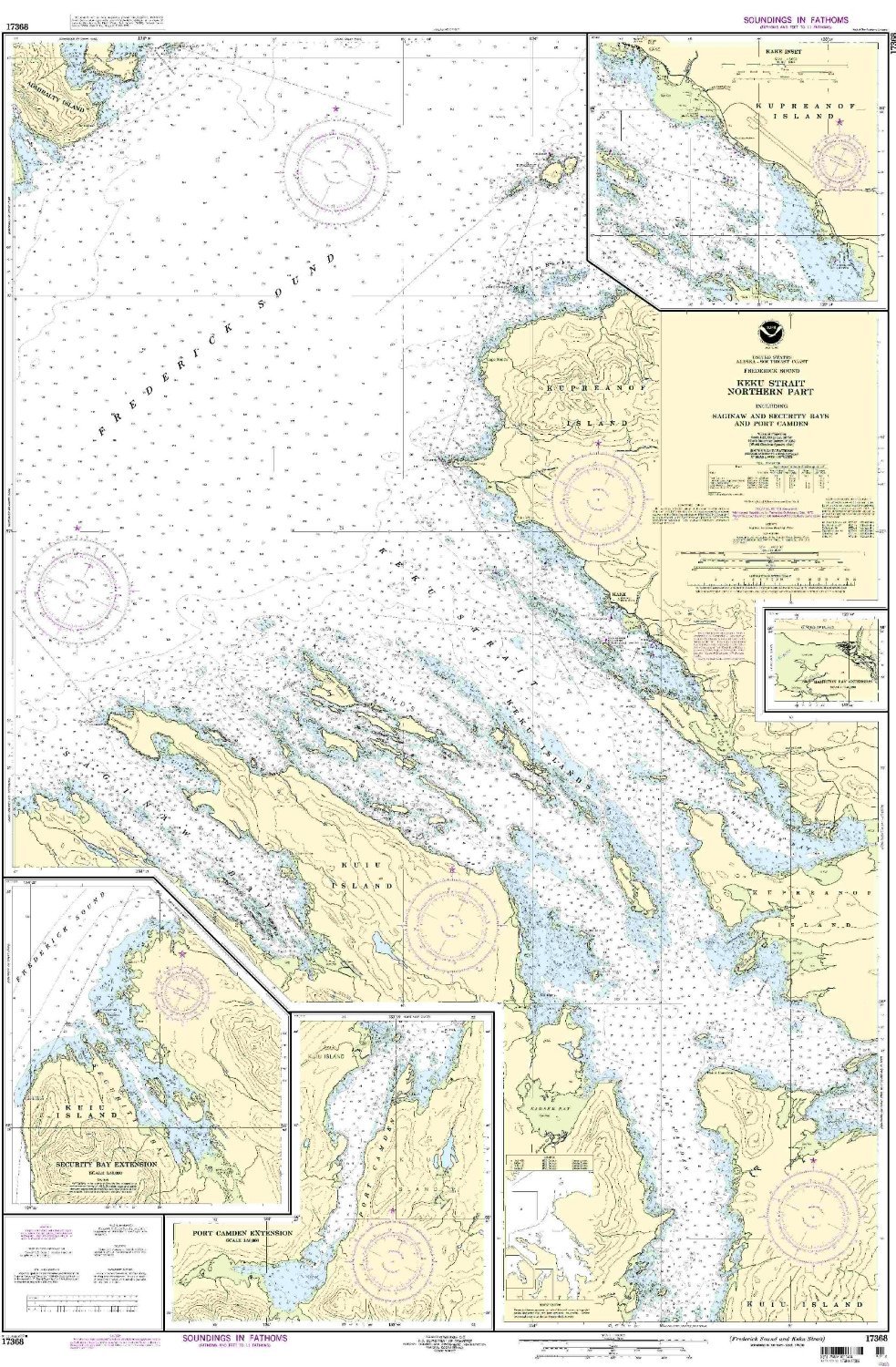
NOAA Print-On-Demand chart Frederick Sound, Keku Strait - northern part including Saginaw and Security Bays and Port Camden 7th Edition Model: 17368
|
|
0
|
$35.95 |
B000HLODM8
|
|
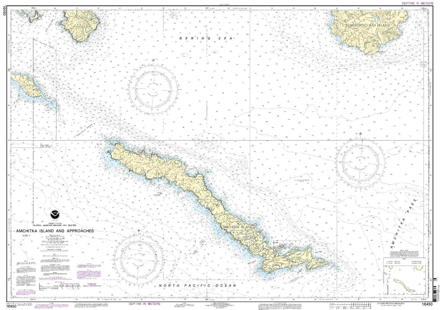
16450--Rat Island - Amchitka Island and approaches (metric)
|
|
0
|
$35.95 |
B000HLODNC
|
|
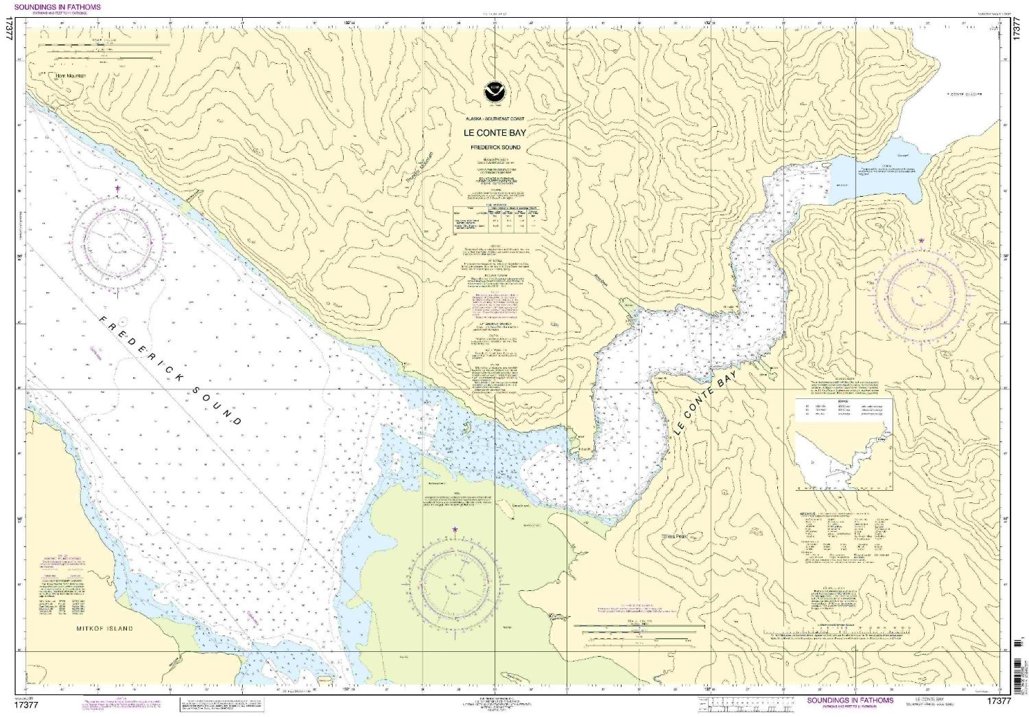
17377--Le Conte Bay, Frederick Sound
|
|
0
|
$35.95 |
B000HLODNM
|

|
17427--Portland Canal - Dixon Entrance to Hattie Island
|
|
0
|
$35.95 |
B000HLODU0
|
|
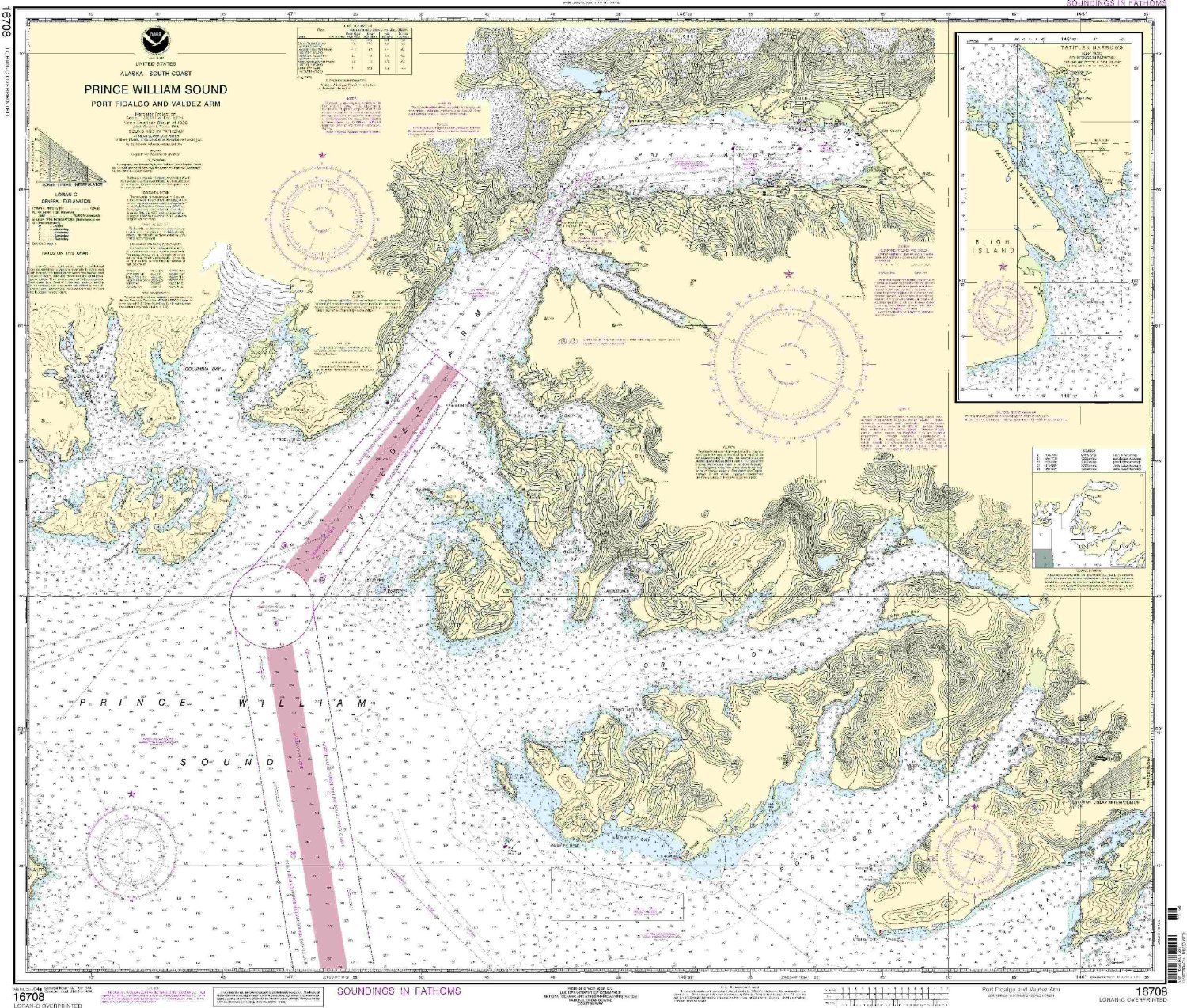
16708--Prince William Sound - Port Fidalgo and Valdez Arm, Tatitlek Narrows
|
|
0
|
$35.95 |
B000HLOE0Y
|
|
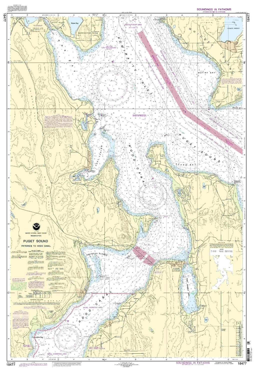
18477 Puget Snd-Hood Canal Entrance
|
|
0
|
$25.95 |
B000HLQFB0
|

|
NOAA 16006-Bering Sea - Eastern Part, St. Matthew Island, Bering Sea, Cape Etolin, Nunivak Island
|
|
0
|
$35.95 |
B000HLQFHO
|
|
NOAA Print-On-Demand chart Atka Island, western part 7th Edition Model: 16486
|
|
0
|
$23.95 |
B000HLQFQ0
|
|
NOAA Print-On-Demand chart Harbor Charts - Clarence Strait and Behm Cannal, Dewey Anchorage, Etolin Island, Ratz Harbor, Prince of Wales Island, Naha Bay, Revillagigedo Island, Tolstoi and Thorne Bays, Prince of Wales Island, Union bay, Cleveland Peninsula
|
|
0
|
$22.95 |
B000HLQH72
|

|
18458--Hood Canal - South Point to Quatsap Point including Dabob Bay
|
|
0
|
$23.95 |
B000HLSC20
|
|
17378--Port Protection, Prince of Wales Island
|
|
0
|
$25.95 |
B000HLSDMO
|

|
17405--Ulloa Channel to San Christoval Channel, North Entrance, Big Salt Lake, Shelter Cove, Craig
|
|
0
|
$23.95 |
B000HLSDSS
|
|
17420--Hecate Strait to Etolin Island, including Behm and Portland Canals
|
|
0
|
$23.95 |
B000HLSDT2
|

|
17316--Lynn Canal - Point Sherman to Skagway, Lutak Inlet, Skagway and Nahku Bay, Portage Cove, Chilkoot Inlet
|
|
0
|
$23.95 |
B000HLSDZQ
|

|
16553--Shumagin Islands - Nagai Island to Unga Island, Delarof Harbor, Popof Strait, northern part
|
|
0
|
$25.95 |
B000HLUDIG
|
|
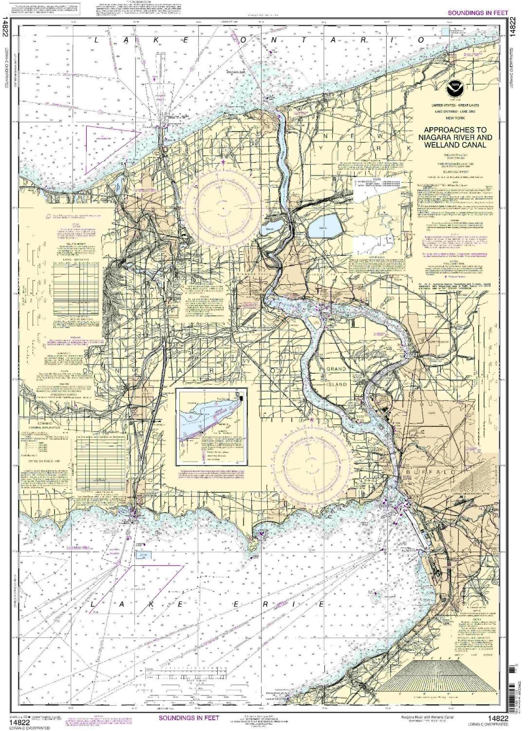
14822--Approaches to Niagara River and Welland Canal
|
|
0
|
$23.95 |
B000HOO6BS
|

|
14930--St. Joseph and Benton Harbor
|
|
0
|
$23.95 |
B000HOO6HC
|

|
14908--Dutch Johns Point to Fishery
|
|
0
|
$23.95 |
B000HOQBSE
|
|
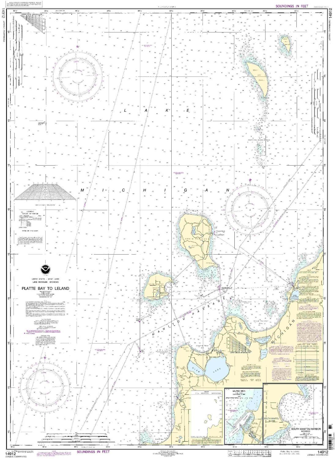
14912 Platte Bay To Leland
|
|
0
|
$23.95 |
B000HOQBT8
|

|
14989--Crooked Lake
|
|
0
|
$23.95 |
B000HOQBXE
|

|
14813--Oswego Harbor
|
|
0
|
$23.95 |
B000HOSFGU
|
|
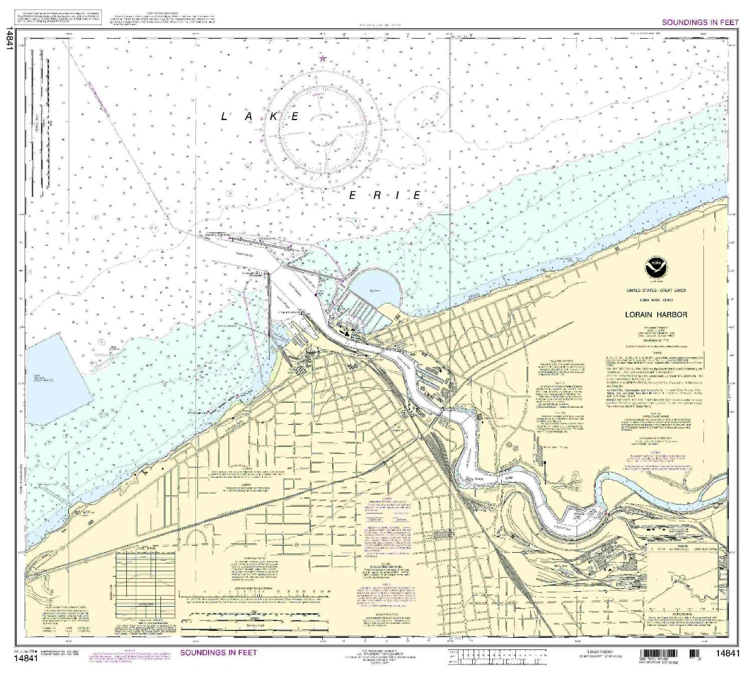
14841--Lorain Harbor
|
|
0
|
$23.95 |
B000HOSFJC
|
|
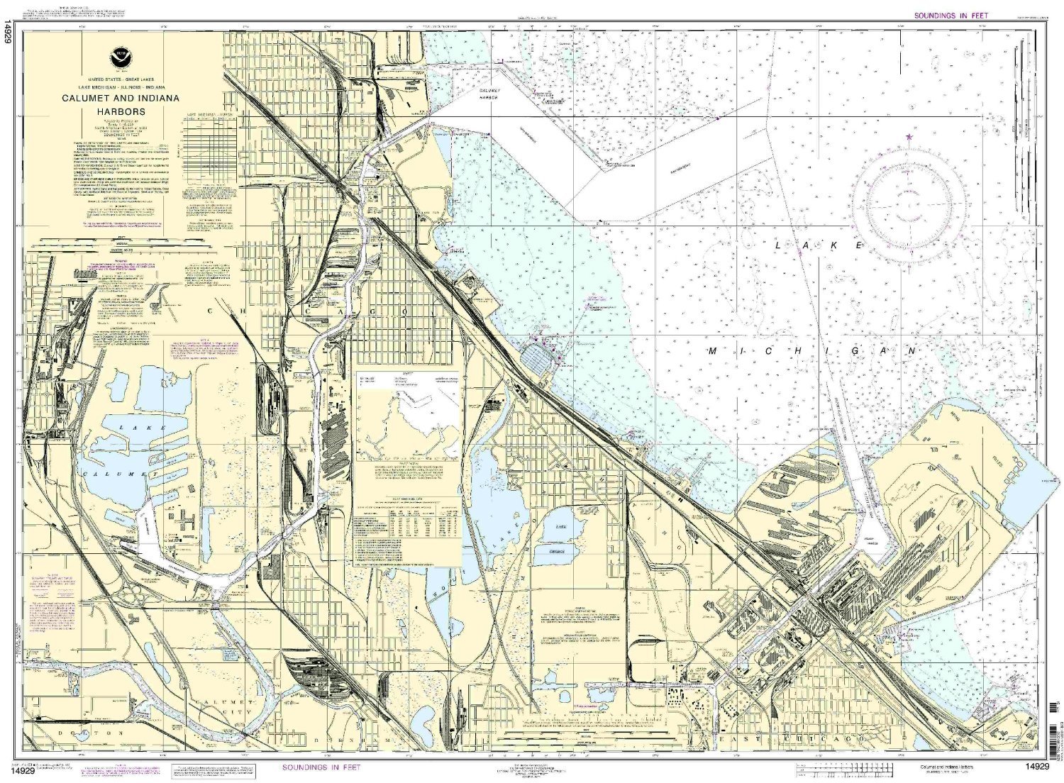
14929--Calumet, Indiana and Buffington Harbors, and Lake Calumet
|
|
0
|
$23.95 |
B000HOSFOC
|
|
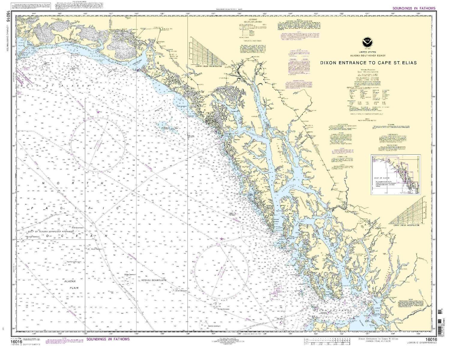
NOAA 16016-Dixon Entrance to Cape St. Elias
|
|
0
|
$35.95 |
B000HOSFS8
|

|
NOAA 14997-Rainy Lake - Dryweed Island to Big Island
|
|
0
|
$35.95 |
B000HOUKZ4
|
|
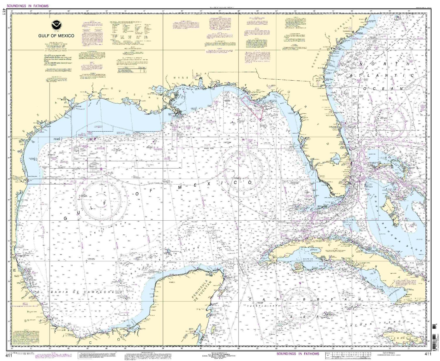
NOAA Chart 411: Gulf of Mexico
|
★★★★☆
|
11
|
$18.75 |
B000HOUKZO
|
|
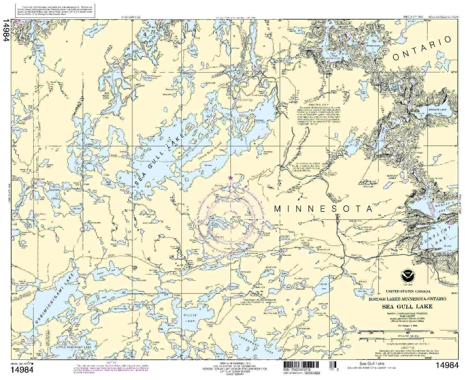
14984--Sea Gull Lake
|
|
0
|
$23.95 |
B000HOUL0S
|
|
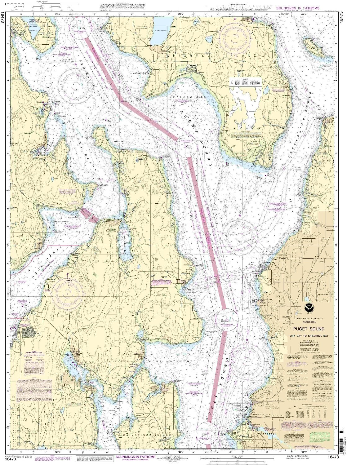
18473--Puget Sound - Oak Bay to Shilshole Bay by NOAA
|
|
0
|
$23.95 |
B013XRI5WG
|